The Dientes de Navarino Circuit in Patagonia is one of the world’s most southerly hikes. This is part 6 of 6 posts about the 5 days I spent hiking the circuit in December 2013 and January 2014. This part covers the final section of the hike: from Laguna Guanacos to the road on the north of Isla Navarino which leads back to Puerto Williams.
Part 1: Preparation
Part 2: Laguna Salto
Part 3: Monte Bettinelli and turning back
Part 4: A long day to Laguna Martillo
Part 5: Paso Virginia and Laguna Guanacos
Part 6: The final stretch to Puerto Williams
After a quick farewell to my favourite campsite and great views of the snow, the path for this final day was basically a descent right down to sea level, to the road that runs along Isla de Navarino’s north coast. The path was relatively easy to follow, ducking between trees and bushes, crossing a few flat areas, and then entering a large forest that involved a lot of clambering over and under fallen trees alongside a noisy river (Laguna Guanacos’ outlet). Overall it was quite a tedious final leg, not very difficult but requiring enough concentration to be annoying. Eventually the path left the forest again and the landscape opened out and I appeared virtually next to the road, quite a way above it.
Key Facts
Location: Patagonia, Chile
Distance: 54 km
Days: 5
Camping: Wild camping
People seen: 4
Difficulty: 4/5
Guidebook: Trekking in the Patagonian Andes
Accommodation: Puerto Williams
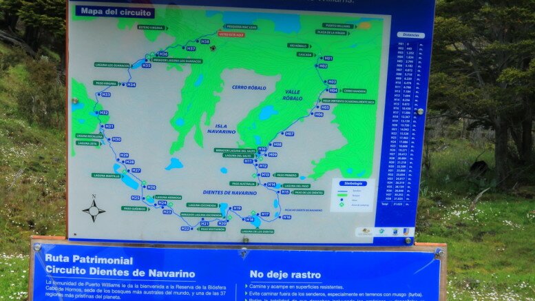
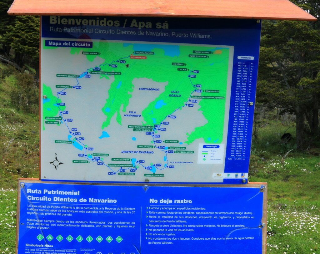
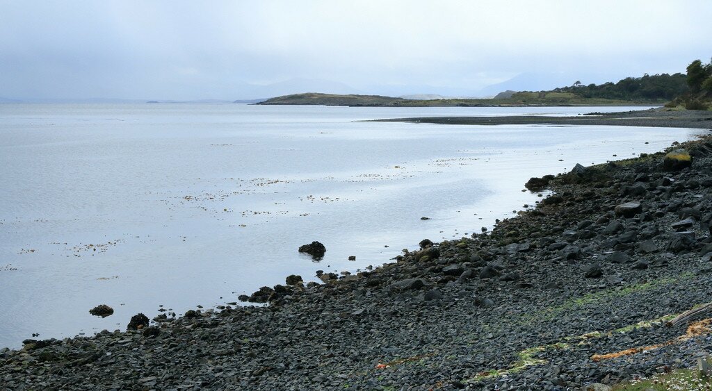
At this point anything resembling a path disappeared and it was simply a case of making my way down through the meadows towards the road, avoiding the mandatory beaver ponds. The trail eventually hit the road more or less near an old crab packing factory, quietly sitting abandoned opposite a large bay area. In the trees a sign and map indicate the start of the trek for hikers going in the opposite direction. I can’t help thinking even finding the trail would be hard in that direction.
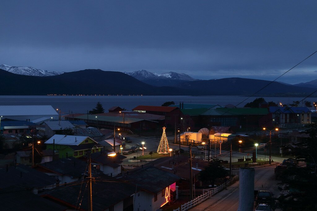
All that was left was the 7km walk back to Puerto Williams along the relatively flat gravel road. Despite the Lonely Planet’s ascertain that drivers often offers hikers a lift ‘even if they are not specifically hitchhiking’, half a dozen drivers sped past me towards the town without any indication that they wanted a smelly hiker in their car. Oh well. Back in Puerto Williams it was a quick trip to the supermarket to stock up on junk food and other goodies I had missed in the last few days, then back to Bella Vista to sleep and plan the next adventure.
Map of the Dientes de Navarino circuit hike:
Download this map/kmz file (Created with Garmin eTrex 30 GPS)


First, thank you for replying to my earlier comment about Lago Windhond. Your description of the Dientes trek has simply increased my determination to give it a go (much as Lonely Planet’s caveat did for you!)
All sounds marvellous apart from the knee-deep mud on the ascent towards Paso Virginia, and the damage caused by the beavers.
I will try to send some feedback after my trip, as your posts have both confirmed my choice (although I had actually booked my flights a few weeks ago!), and filled in a lot of gaps in my knowledge.
All the best!