The Dientes de Navarino Circuit is one of the world’s most southerly hikes. This is part 4 of 6 posts about the 5 days I spent hiking the circuit in December 2013 and January 2014. This part covers the trek from Paso de los Dientes to Laguna Escondida and onwards towards Laguna Martillo.
Part 1: Preparation
Part 2: Laguna Salto
Part 3: Monte Bettinelli and turning back
Part 4: A long day to Laguna Martillo
Part 5: Paso Virginia and Laguna Guanacos
Part 6: The final stretch to Puerto Williams
Key Facts
Location: Patagonia, Chile
Distance: 54 km
Days: 5
Camping: Wild camping
People seen: 4
Difficulty: 4/5
Guidebook: Trekking in the Patagonian Andes
Accommodation: Puerto Williams
This felt like a long day, despite only being about 10km. In the morning I was tempted to have another attempt at Monte Bettinelli, trying to convince myself that conditions could not have been that bad the previous day. But in the end sense prevailed and I formulated a plan to push on with Dientes, taking three more days to complete it, and then hike the Lago Windhond trail another time.
Heading back through the forest, the yellow markers seemed more prominent in this direction and I was very quickly back at the boulder field where the Dientes Circuit and Windhond trail split. At this point it started raining, and it didn’t stop for the entire day (apart from when the rain turned to snow). Not wanting to stop for very long (and having no visibility to enjoy the view), I quickly passed some of the key landmarks on the trek: Laguna de los Dientes, Laguna Escondida, and up towards Paso Ventarron.
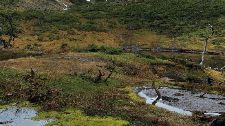
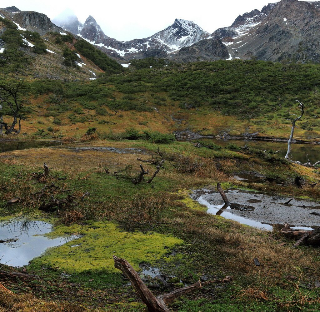
The one saving grace was that there was no wind at all, but the rain continued unabated and I knew finding an even remotely dry camping spot for the night would be tough. From the descent from Paso Ventarron onwards I was scouring the land either side of the trail, looking for higher ground or a patch of grass that wasn’t a puddle. Unfortunately the ground in this part of Patagonia is so soft and moss-like that even the higher ground was sodden, and I resigned myself to another poor camping spot. By now there were a couple of hikers a few hundred metres in front of me who were also looking for a spot, and I just knew if one came up, they would grab it first. Eventually I gave up and instead of pushing on to Laguna Martillo I found a quite spot in the bowl between Paso Ventarron and the next pass, just before Laguna Martillo. Though the ground was rather swamped and the site surrounded by nasty looking puddles, it was relatively sheltered by the surrounding peaks. I took water from the nearby lake, filtered it, used the SteriPen, boiled it for ten minutes, and then used the SteriPen again when it had cooled. This was approximately the middle of the hike – the furthest point from anywhere – and I did NOT want to be taking chances with water like that…
Day 4, though, would offer much better weather and many more photos….
Map of the Dientes de Navarino circuit hike:
Download this map/kmz file (Created with Garmin eTrex 30 GPS)


Be the first to comment on "Dientes de Navarino Circuit Part 4: Hiking to Laguna Martillo"